







Smithsonian Children's Illustrated Atlas: Revised and Updated Edition
$29.99 CAD
In Stock — In Store & Online
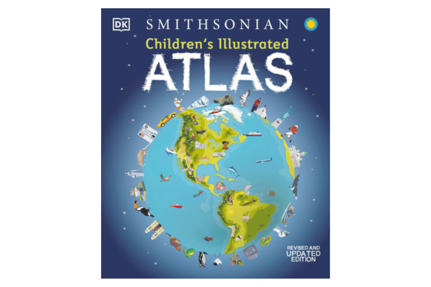
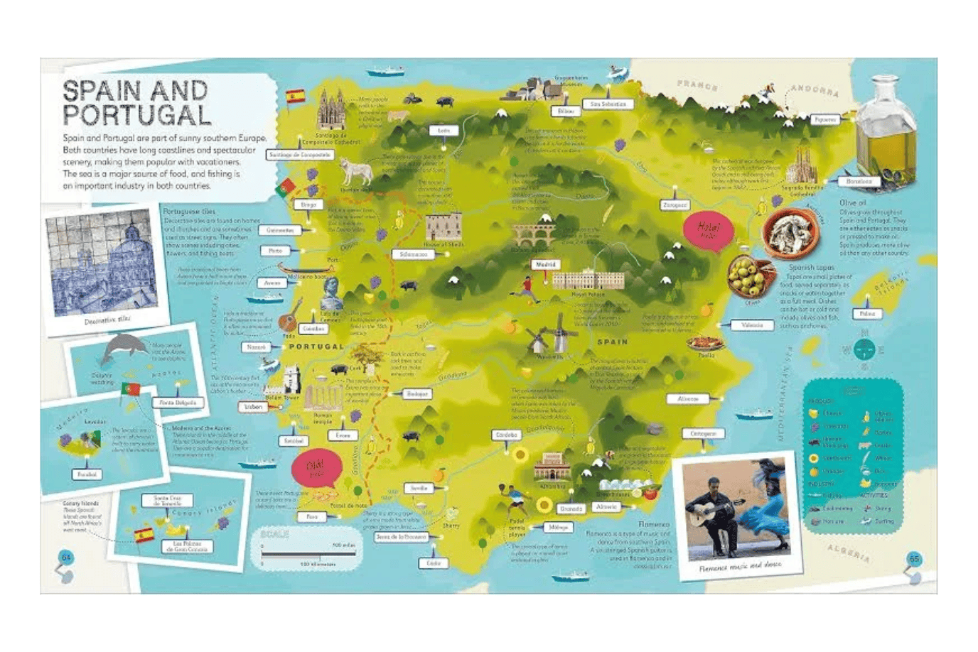
DK’s Children’s Illustrated Atlas brings the world to life with colourful maps and fascinating facts about the countries of the world.
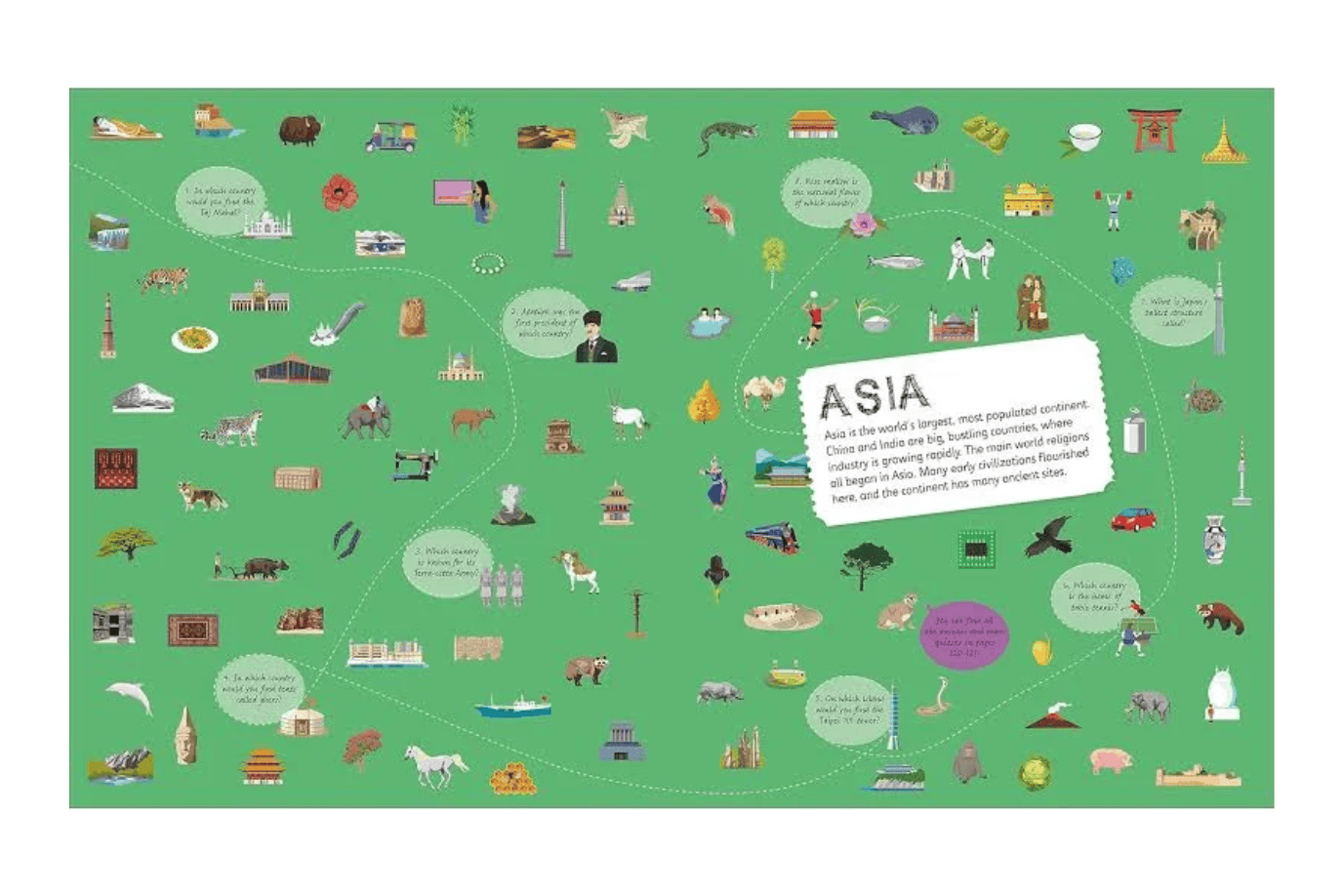
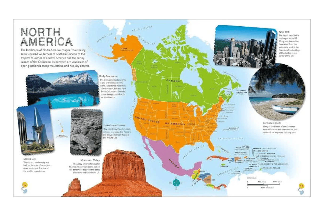
Each map is bursting with information, featuring photographs representing key points about each country. The atlas includes a world map, with a political map for each continent.
Children are shown how to read a map and use a key, compass, and scale.
- Additional Details: Hardcover
- Product Dimensions: 10.25 "W x 12.13 "H x 0.54 "D
- Page Count: 128 pages
Age Range: 7 to 9 years
Click here to view our entire collection of Children's Books
ISBN: 9780744073881